EasyAR Dense Spatial Mapping
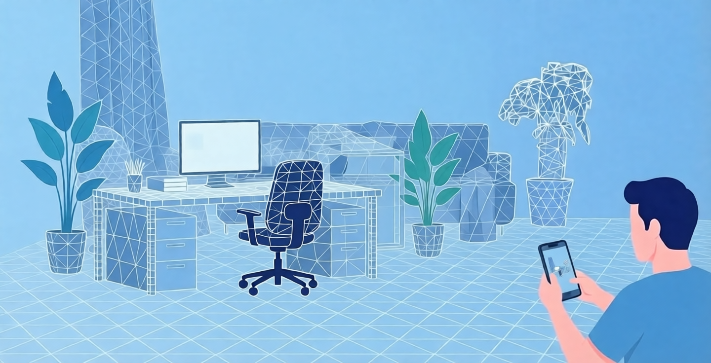
EasyAR Dense Spatial Mapping utilizes the device's camera data to perform 3D reconstruction of the surrounding environment, generating dense point cloud maps and mesh maps. Leveraging dense spatial maps enables virtual objects to better integrate into the real environment, facilitating AR applications such as correct occlusion and collision between real and virtual objects.
Dense spatial mapping feature introduction
Building upon stable motion tracking, EasyAR Dense Spatial Mapping analyzes the device's camera data to establish dense point cloud information of the environment. It gradually fuses and constructs a mesh, obtaining a geometric representation of the environment. This can be used to achieve effects like occlusion relationships between virtual objects and the real environment, thereby enhancing the realism of AR experiences.
EasyAR Dense Spatial Mapping requires a stable Motion Tracking System providing six degrees of freedom (6DoF) camera position and pose, which can be obtained from the EasyAR Motion Tracking module or platforms like ARKit/ARCore.
Best practices
To achieve better reconstruction results, users are recommended to operate as follows:
- Move the phone laterally as much as possible, avoiding rotating it in place.
- Cover as many scanning angles as possible.
- Avoid reconstructing large areas of solid color or objects with reflective surfaces.
- Avoid rapid movements or blocking the camera.