Mega space solution
For large-scale scenarios such as tourist attractions, urban districts, and large commercial complexes covering hundreds of thousands of square meters or even millions of square meters, the traditional "single acquisition, single large map" model is insufficient. This document introduces how to handle acquisition and usage challenges in mega spaces, addressing issues like excessive cumulative errors and memory overflow caused by single oversized maps.
Core challenges
When processing mega spaces spanning millions of square meters, attempting to create a single giant map faces multiple technical obstacles:
- Acquisition difficulties: Prolonged single acquisition causes device overheating and massive data volumes (hundreds of GB), making upload and processing extremely difficult.
- Cumulative error: Mapping errors accumulate with collection distance. Over several kilometers, even a 1% error can result in tens of meters of deviation, which is hard to correct.
- Performance bottlenecks: Loading and optimizing million-square-meter map data can instantly exhaust device memory.
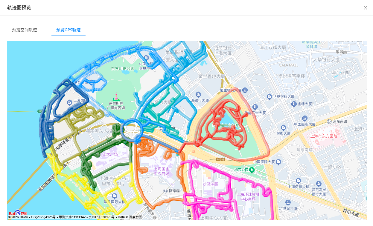
Solution: Partitioning and fusion
The standard solution for mega spaces is partitioning. Divide the entire large scene logically into multiple physically overlapping sub-areas, acquire each sub-area separately, then fuse and optimize all sub-areas. This enables seamless roaming through dynamic loading during runtime.
Data acquisition
Follow the Mega space data acquisition method for planning.
- Partitioning principle: Divide large scenes by area, scenery, or functional zones, with each sub-area ideally around
100,000 square meters. - Overlap requirement: Adjacent sub-areas require
at least 200 meters of completely overlapping paths. Larger overlap areas yield better fused maps. Ensure sufficient overlap for optimizing adjacent submaps.
Before acquiring each sub-area:
- Perform acquisition route planning
- Check GoPro Max device configuration or GoPro Max2 device configuration
- Read and familiarize with acquisition methods
- Learn GoPro Max/Max2 data export steps
Creating mapping tasks
- If using Mega mapping for the first time, first create a mapping project
- Create a mega-scale multi-map fusion task in the Mega development center. Upload segmented acquisition videos, and cloud mapping algorithms will automatically stitch and optimize them.
Viewing mapping results
After mapping completes, you can:
Tip
- For mapping failures, refer to the mapping issue troubleshooting guide
- For model layering issues, consult the model defect handling guide
Testing localization performance
- For first-time Mega localization users, configure the localization database
- Quickly verify database usability
- View simulation performance
- Check real-world performance
Runtime strategy
Fused maps require no special handling—use them as single maps directly.
- GNSS-based querying: In outdoor scenarios, GNSS assists map queries for precise positioning in large areas.
- On-demand loading: When placing content, load each sub-area's Mesh separately.
- Seamless switching:
- Localization algorithms run simultaneously in submap A and submap B.
- Content transitions seamlessly in overlap zones.